Europe's highest active volcano on foot: what each guided hike really includes, how high it
goes, where you may walk without a guide, and which treks are worth booking this season.
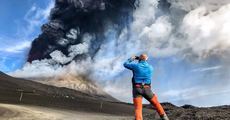
Etna is active: summit access changes day by day Etna erupted several times in summer 2026, the summit zone was closed in August, and ash emissions from the Northeast Crater resumed on 24 September. Summit treks run only when the civil protection alert phase allows it; on other days guides take a lower or safer route. The trails around Rifugio Sapienza stay open. INGV Etna bulletinsChecked 1 October 2026
Rules checkedAccess limits from the ordinances and INGV
Real guest ratingsLive GetYourGuide figures, shown as they are
Refund terms per tourEvery hike here refunds in full up to 24 hours ahead
Secure checkoutBook on GetYourGuide, instant mobile tickets
Hikes
Choose your Etna hike
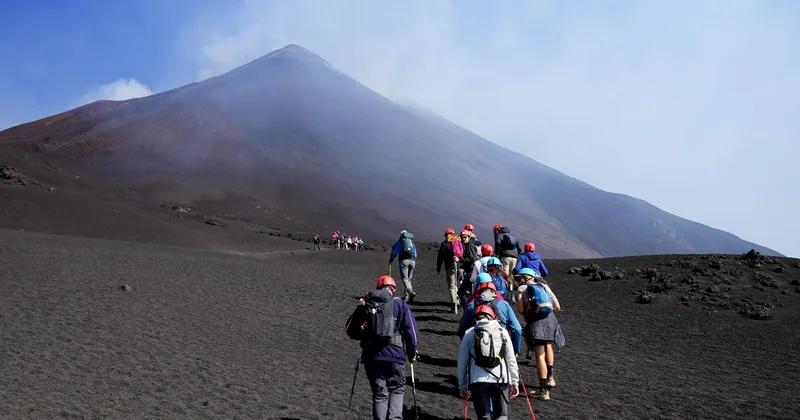
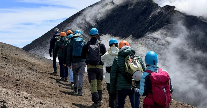
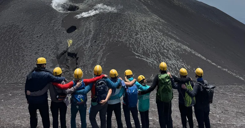
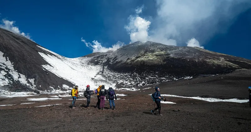
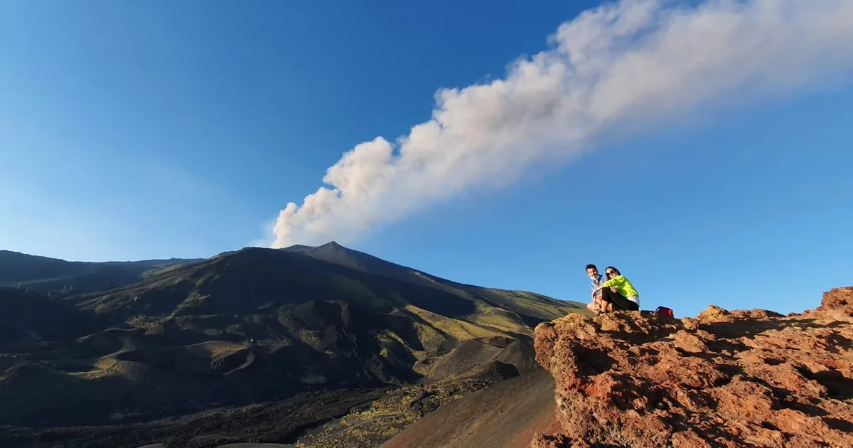
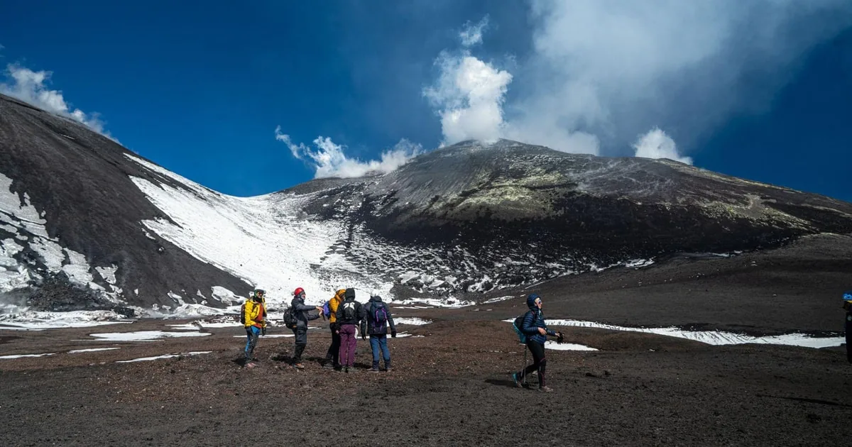
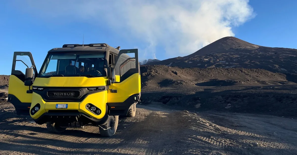
In the centre, the most booked guided hike: cable car, then on foot to 3,000 m or the summit area.
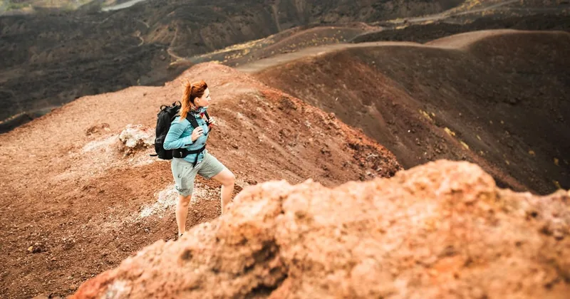
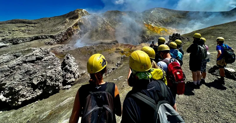
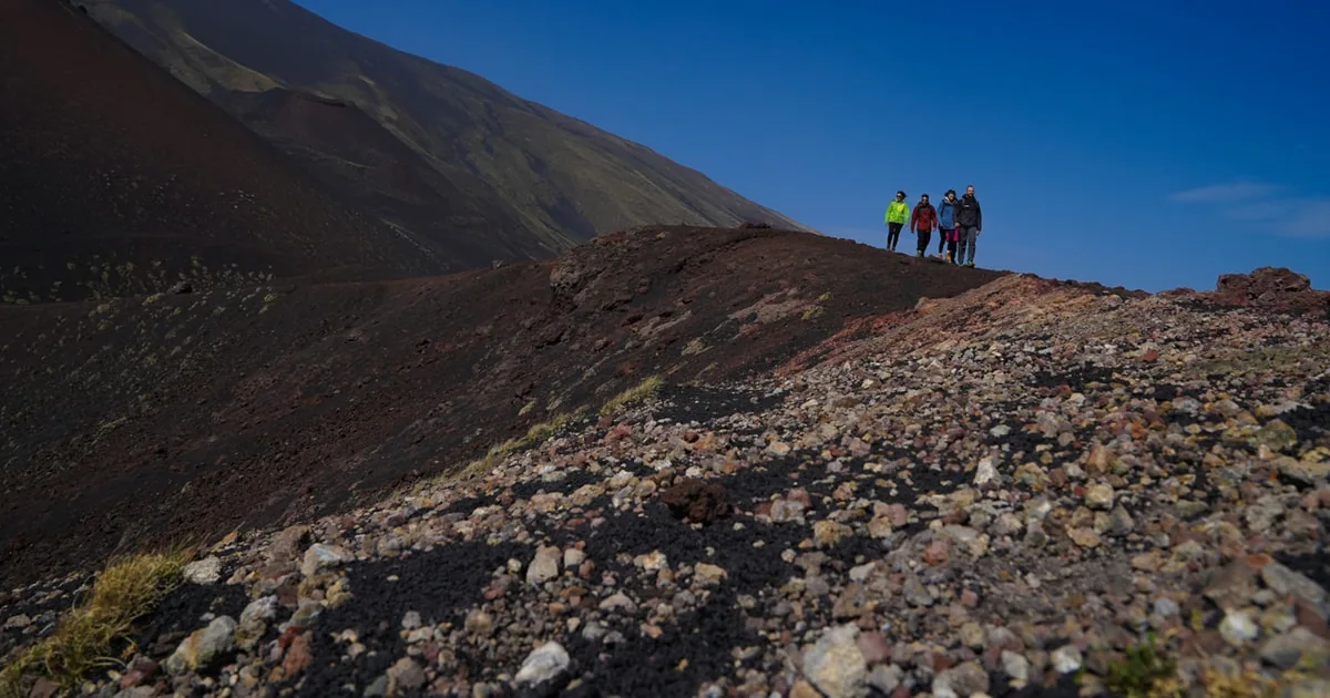
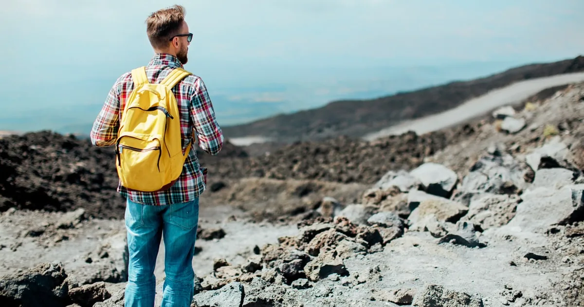
On the left, the 3,000 m trek with the 4x4 to save your legs. On the right, a real hike from 1,850 m with no lifts
at all.
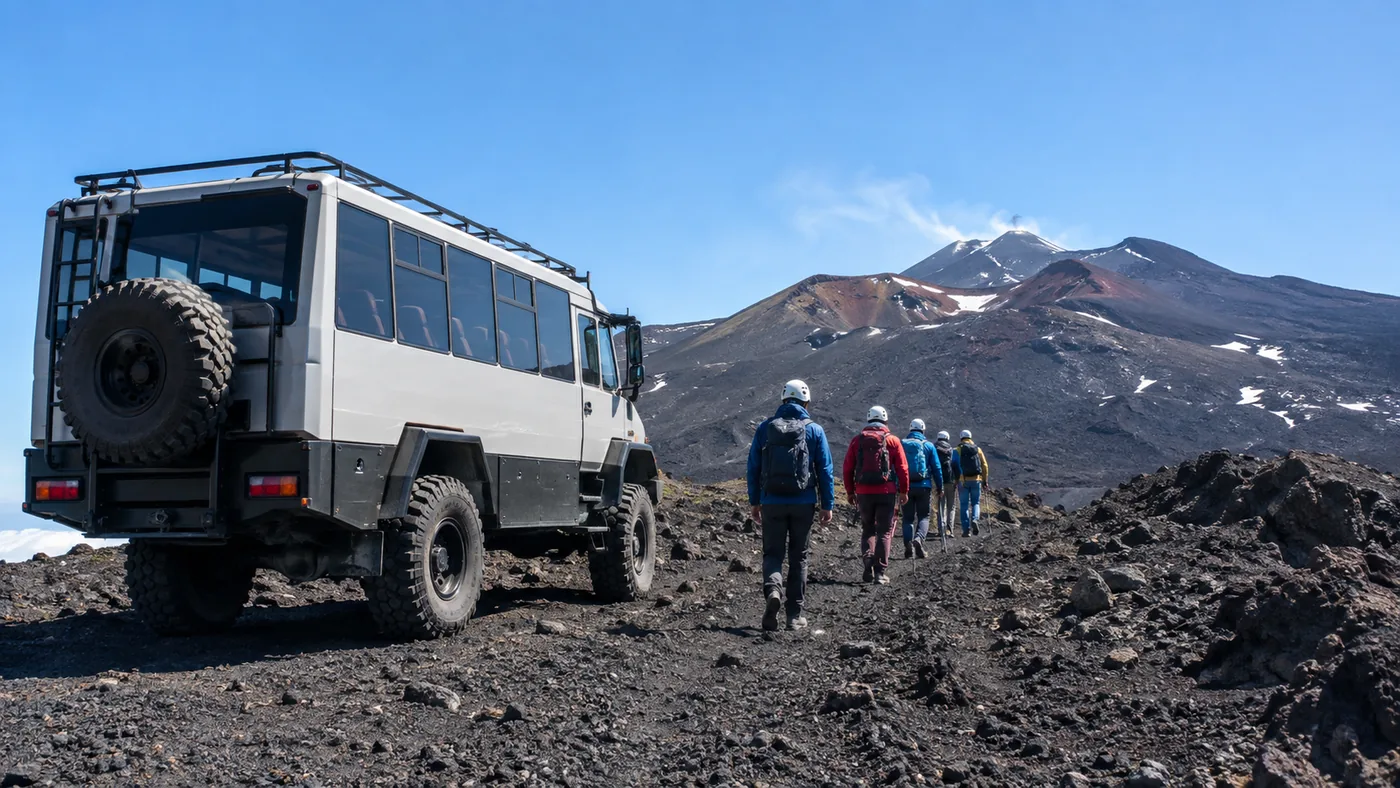
Cable car and 4x4 to 2,800 m, then three hours on foot to the Barbagallo craters and a 2002 vent. Boots, jacket and helmet are lent; the lift ticket is paid in cash.
What's included
An alpine or volcanological guide
Boots, socks, helmet, jacket and backpack lent
Barbagallo craters near 2,900 m and a 2002 vent
Descent on volcanic sand above the Valle del Bove
Cable car and 4x4 ticket paid on site, not included
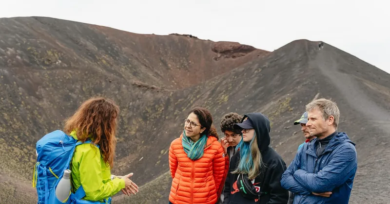
Cable car to 2,500 m, then on foot with a volcanological guide: the 3,000 m craters, or the summit area when the volcano allows. The lift ticket is paid on the day.
What's included
A certified volcanological guide
Choose the 3,000 m trek or the summit trek
Helmet, insurance and hiking gear if available
Optional pickup from Catania
Cable car (and 4x4) ticket paid on site, not included
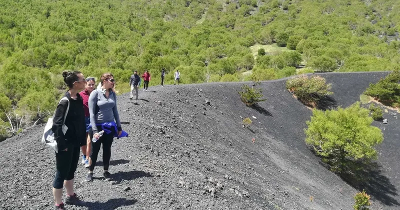
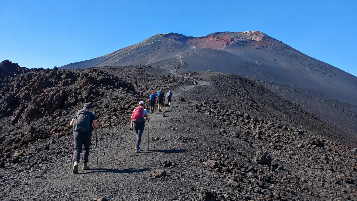
A real hike with no lifts: about 550 m of climbing from 1,850 m past the Silvestri craters and the 2001 lava flow. Shoes, poles and jackets are lent; minimum two people.
The first row is the honest baseline: the Silvestri craters and the marked trails near Rifugio
Sapienza need no ticket and no guide. A guide is what lets you go higher, into the summit zone, and only when the
volcano allows it.
Option
Starts
Best for
Length
Rating
Cancel
On your own, no guide
Rifugio Sapienza or Piano Provenzana
Walkers happy below the summit zone: the Silvestri craters and marked trails need no ticket; the cable car is optional
Most guided summit hikes do not include the cable car and 4x4 ride: you buy that ticket at
the meeting point on the day, often in cash. Every summit route depends on the alert level and the weather.
What the tour pages don't tell you
The summit is never promised.
Etna is not a mountain with a fixed path to the top. The summit zone, roughly everything above 2,500 m on the
south side, opens and closes with the volcano's alert level, and only authorised Alpine or volcanological
guides may take you into it. When the volcano is restless, the guide turns the group round at 3,000 m or
lower, and nobody can promise you the crater rim on the day you book.
Three more things to know: the cable car and 4x4 ticket is usually extra, paid at the meeting point;
several of the most reviewed "Etna tours" are gentle walks round the old craters near 2,000 m, with a lava cave
and a tasting, and never go near the summit; and the descent in deep volcanic sand is the part people remember
in their knees.
2,500 m
is about as high as you may hike without a guide on the
south side; on the north side the limit is about 2,850 m. Above that, the summit zone needs an authorised
guide and a green light from the civil protection.
Guide needed above 2,500 mLift ticket often extraRoutes change with the volcanoCold and windy at 3,000 mWatched day and night
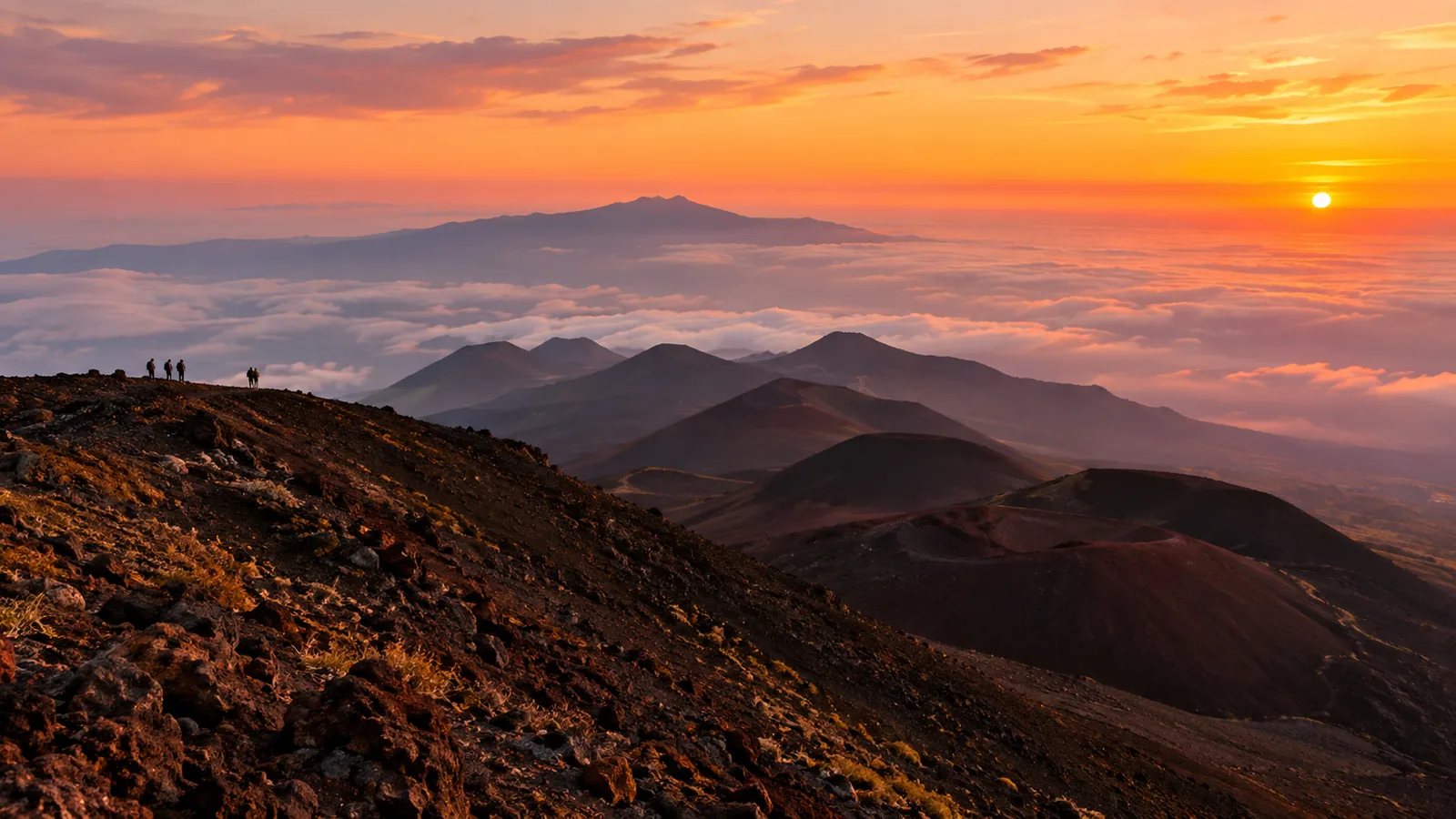
The Valle del Bove, the great horseshoe valley on Etna's east flank.
01
Guide or not?
Below 2,500 m on your own; the summit zone only with a guide.
02
How hard?
Moderate to 3,000 m with the lifts; demanding to the summit area.
03
When?
May to June and September to October are the best months to hike.
04
On the day?
Check the alert level, the wind and the cable car before you drive up.
How a summit day works
From the refuge to the craters
Most guided hikes on the south side follow the same order. Start early: clouds often build over the
summit by early afternoon, and the light and the views are best in the morning.
01
Rifugio Sapienza
Meet your guide at about 1,900 m, try on boots, jacket and helmet, and hear the day's plan and the alert level.
About 30 minutes
02
Cable car and 4x4
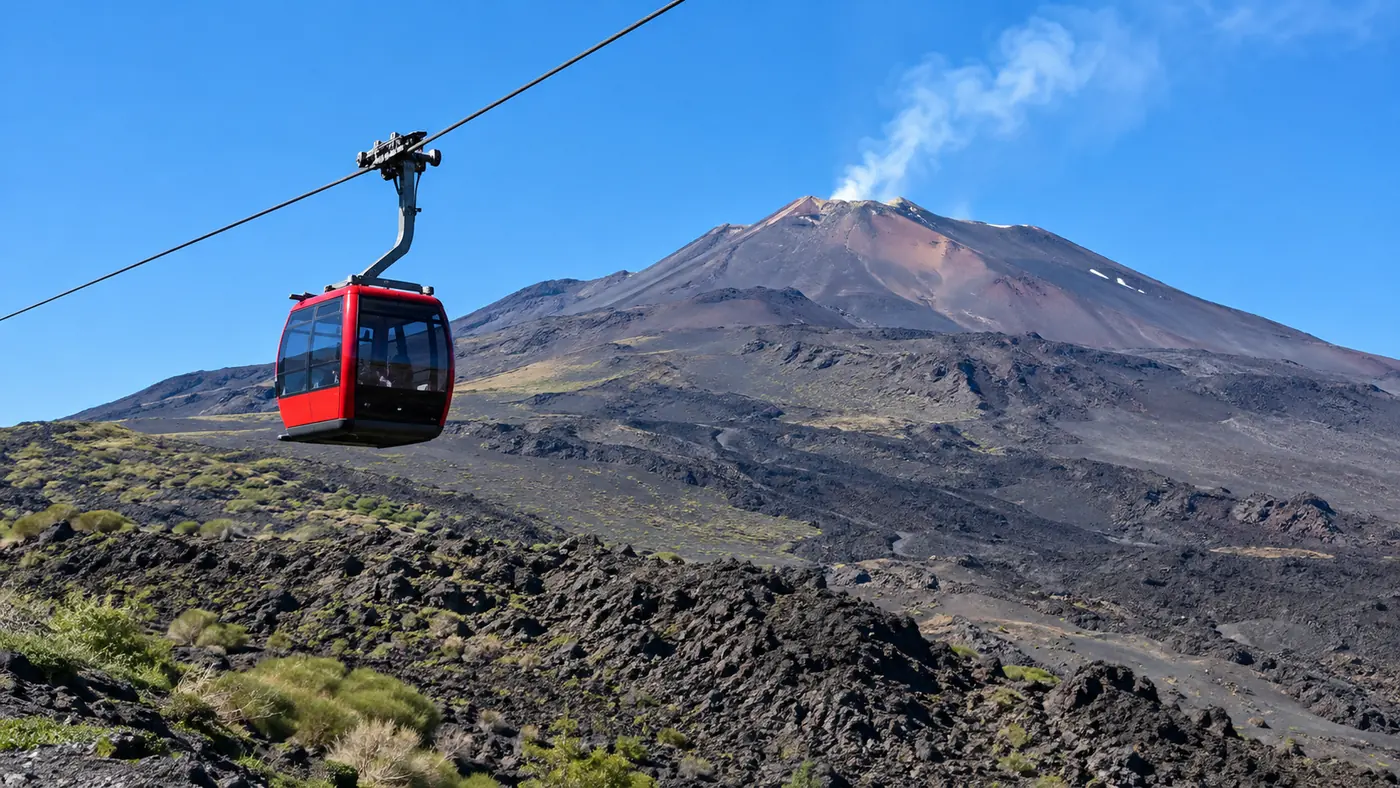
The Funivia dell'Etna lifts you to 2,500 m in about 15 minutes; a 4x4 bus can take you on towards 2,900 m.
About 45 minutes
03
On foot
Walk across recent lava flows to the Barbagallo craters near 3,000 m, or on up to the summit craters when allowed.
2 to 4 hours
04
The descent
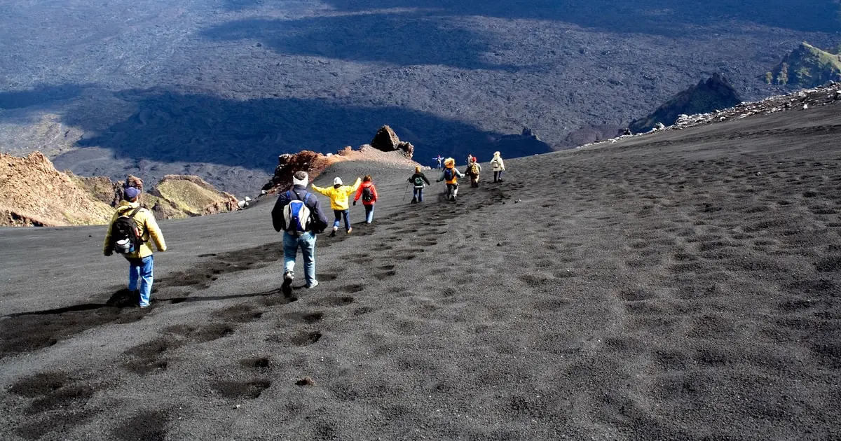
Run and slide down slopes of soft volcanic sand to a viewpoint over the Valle del Bove, then ride the cable car down.
Where you may walk, what the tickets cover, what to wear at 3,000 metres and how to reach the volcano.
Without a guide: marked trails up to about 2,500 m on the south side and about 2,850 m on the north side.
Summit zone: only with authorised Alpine or volcanological guides, with a helmet, up to 10 people per guide.
Alert phases: when the civil protection raises the alert, every summit excursion stops, guided ones too.
Daylight only: unguided walkers keep to marked paths between sunrise and sunset, never near lava fronts.
Penalties: ignoring a closure can get you reported to the judicial authorities.
No ticket needed: the Silvestri craters and the nature trails around the refuges.
Cable car: a return ticket from Rifugio Sapienza to 2,500 m, sold at the lower station.
Cable car, 4x4 and guide: a combined ticket to the 2,900 m area, about 2.5 hours in all.
Guided summit hikes: most charge the lift ticket separately at the meeting point; bring cash.
Parking: the car parks at Rifugio Sapienza are pay and display; arrive by 9 am in summer.
Boots: ankle boots with a solid sole; most guided hikes lend them, and trainers fill with sand.
Layers: about 15 degrees on a summer day at 3,000 m, often near freezing with the wind.
Windproof jacket, hat and gloves, even in August; long trousers keep the ash out.
Sun: sunglasses and sun cream; the air is thin and the black sand reflects heat.
Water and food: at least a litre each; there is nothing to buy above the cable car.
From Catania: about 35 km to Rifugio Sapienza, 50 to 60 minutes by car via Nicolosi.
By bus: one AST bus a day from Catania station at about 8:15, back from the refuge at about 16:30.
From Taormina: about an hour to Rifugio Sapienza, or head to Piano Provenzana on the north side.
Your own car: you can drive to Rifugio Sapienza and Piano Provenzana; above them only authorised 4x4s go.
With pickup: several hikes collect you in Catania, Taormina or Syracuse.
1669The great flowLava reaches Catania; no deaths are documented.
1892Silvestri cratersA flank eruption builds the cones by Rifugio Sapienza.
1987The parkThe Parco dell'Etna protects the volcano.
2002North sideLava destroys the Piano Provenzana resort.
2013UNESCOMount Etna becomes a World Heritage Site.
2024New heightThe Voragine rim reaches 3,403 metres.
Where hikes start
Rifugio Sapienza, Etna South
Rifugio Sapienza and Piano Provenzana
Piazzale Rifugio Sapienza, SP92, Nicolosi Nord, about 1,900 m
Most hikes on the south side meet at the guides' offices around the square at Rifugio Sapienza, next to the
lower station of the cable car and the Silvestri craters. The north-side treks meet at Piano Provenzana, about
1,800 m above Linguaglossa, where 4x4 buses climb to the observatory area. Hikes with pickup collect you in
Catania, Taormina or Syracuse and drive you up.
South: Rifugio Sapienza, cable car and Silvestri craters
North: Piano Provenzana, 4x4 buses to about 2,900 m
Pickup: Catania, Taormina, Giardini Naxos, Syracuse
Giuseppe was an excellent guide! He seemed very enthusiastic talking about the volcano and its geology. The tour started with a 15 min ride up to 2,500 m. From there we walked across various craters onto 3,000 m. It was a well paced walk.
★★★★★
The tour was perfect! Our guide Renato was super friendly, funny and knowledgeable. We learnt so much! The views from the top were incredible! The trek up is a bit strenuous, but you take breaks along the way.
★★★★★
Fantastic experience! Marco, our guide, was knowledgeable and experienced. We felt very safe. We had a range of fitness levels and he made it work for all of us. Our group felt it was definitely worth the effort.
★★★★★
Highly recommended. You should be reasonably fit however as it's not a walk in the park. It's an absolutely incredible experience, standing at the edge of a smoking crater. Looking back, we could clearly see the Aeolian Islands in the distance.
★★★★★
The tour was excellent, we went up to 3,000 m. The experience is wonderful, but I can say tiring, but it was worth it. Giuseppe is a wonderful guide, patient, responsible and full of interesting facts about Etna.
★★★★★
An incredible tour with knowledgeable guides. As in the description this is a challenging hike both up and down, but definitely worth it.
★★★★★
The tour was amazing, being above clouds on top of a volcanic mountain and lava tubes, what more can you ask for. A special mention to our guide Giuseppe who was exceptionally good in explaining everything.
★★★★★
Amazing experience, our tour guide Massimo was the best - a really experienced guide who was fun and helpful but also made us feel safe during the whole trip.
★★★★★
It was an amazing trip! Amelia was very friendly and a professional tour guide. We got to know a lot about Etna and its history. The trip to the mountain was comfortable and with a pick-up at our accommodation it was very easy.
A gentler day
Etna without the altitude
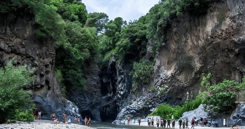
Not everyone wants 3,000 metres of thin air and black sand. The green north side of Etna has lava
fronts you can touch, easy crater walks among birch woods, village lunches, and a basalt canyon where the river
runs between columns of old lava.
Etna North and the Alcantara Gorges with Lunch
★ 4.8 · 2,944 reviews · GetYourGuide
Not ready for 3,000 metres? This day stays low and varied: the 2002 lava front on the north side, an easy 3 km walk to the Monti Sartorius craters, lunch in an Etna village and the basalt canyon of the Alcantara Gorges, park entry included. Full refund if you cancel up to 24 hours ahead.
Mount Etna rises above Catania on the east coast of Sicily, about 3,400 metres high and around
1,200 square kilometres wide, the highest active volcano in Europe. It erupts almost every year, its height changes
with every eruption, and since 2013 its high, empty slopes have been a UNESCO World Heritage Site.
A volcano you can walk on
Most volcanoes this active are fenced off. Etna is different: its eruptions are mostly lava flows and lava
fountains from the summit craters, not huge explosions, so people have farmed its lower slopes for thousands of
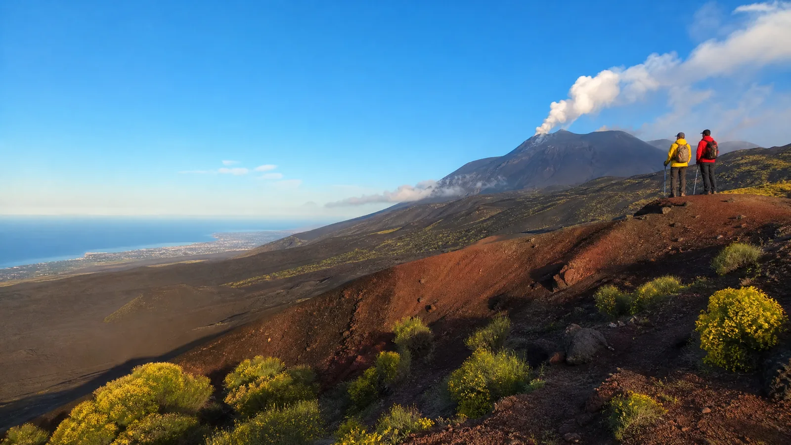
years and hikers walk its upper slopes every day of the season. There are four summit craters: the Voragine, the
Bocca Nuova, the Northeast Crater and the Southeast Crater, the most active of recent decades. In 2024 the rim of
the Voragine grew to 3,403 metres, the highest point ever measured on the volcano.
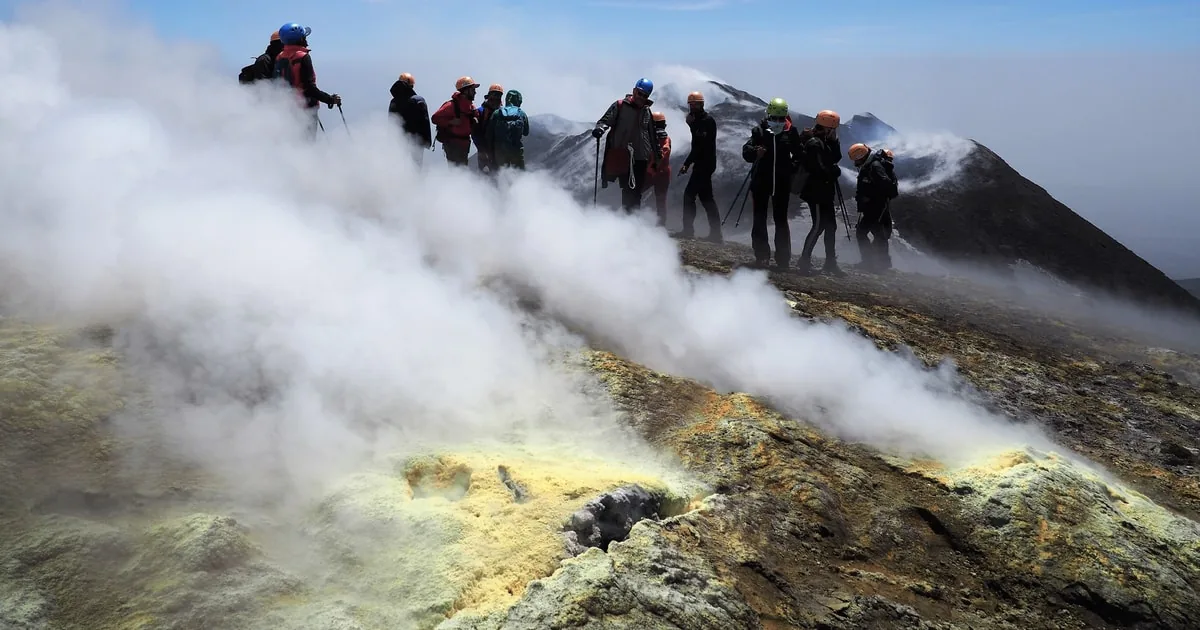
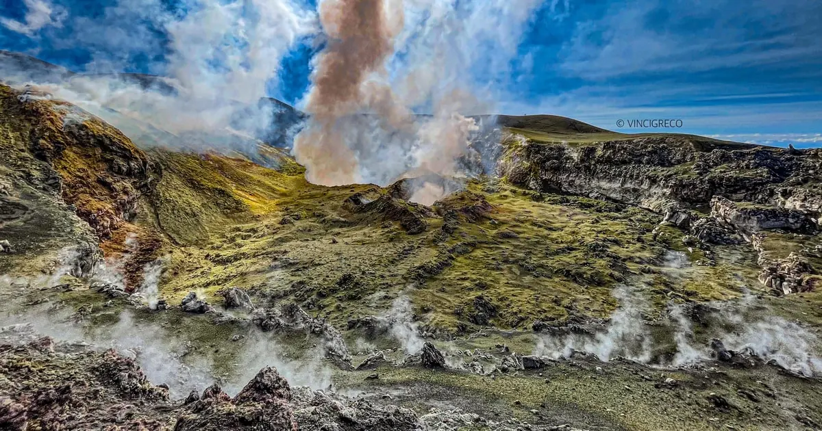
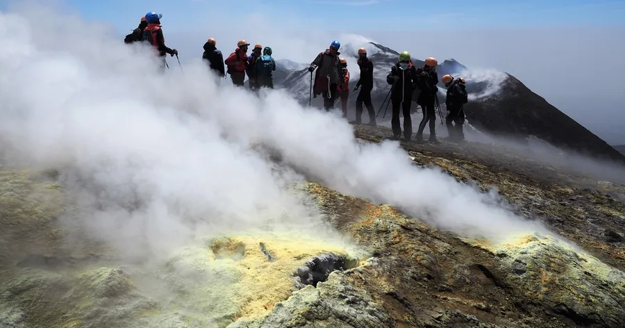
The summit craters: steam, sulphur and a rim walk with a guide.
Two sides, two starting points
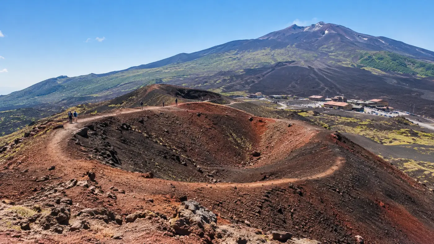
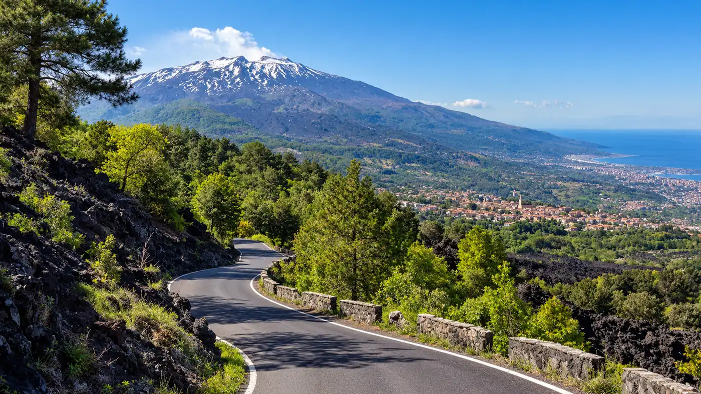
On the south side, the road from Nicolosi climbs to Rifugio Sapienza at about 1,900 metres, with the
Silvestri craters beside the car park and the Funivia dell'Etna cable car to 2,500 metres. On the north side,
the Mareneve road from Linguaglossa leads to Piano Provenzana at about 1,800 metres, rebuilt after lava destroyed
it in 2002, where 4x4 buses climb towards the observatory at Pizzi Deneri. The north side is greener and quieter;
the south side has the cable car and most of the tours.
The honest small print: no tour can promise the summit craters. The summit zone opens and
closes with the alert level, and only authorised guides may take you in. Most guided hikes charge the cable car
and 4x4 ticket separately on the day, and several popular "Etna tours" stay near 2,000 metres. If you have heart
or breathing problems, choose a crater walk, not the summit.
Who watches the volcano
Etna is one of the most closely monitored volcanoes in the world. The INGV observatory in Catania follows it day
and night with seismometers, cameras, gas sensors and satellites, publishes a bulletin every week, and runs an
alert system for lava fountains. When the risk rises, the regional civil protection closes the summit zone and
the mayors of Nicolosi and Linguaglossa issue ordinances that the guides follow to the letter.
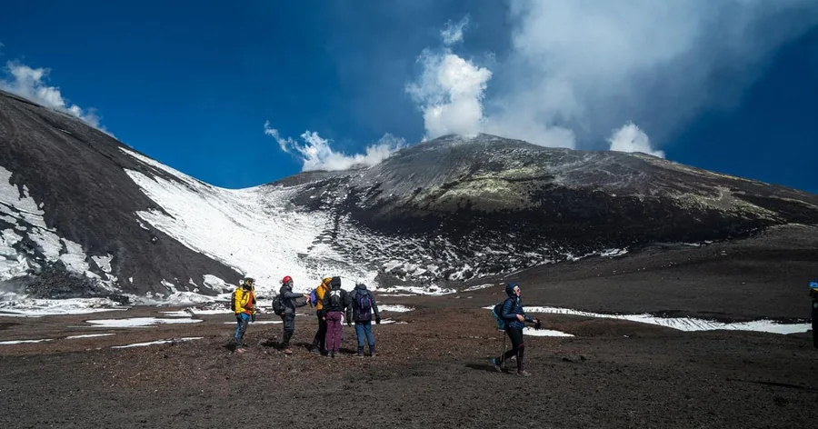
The plain below the summit cone, with the last snow of spring.
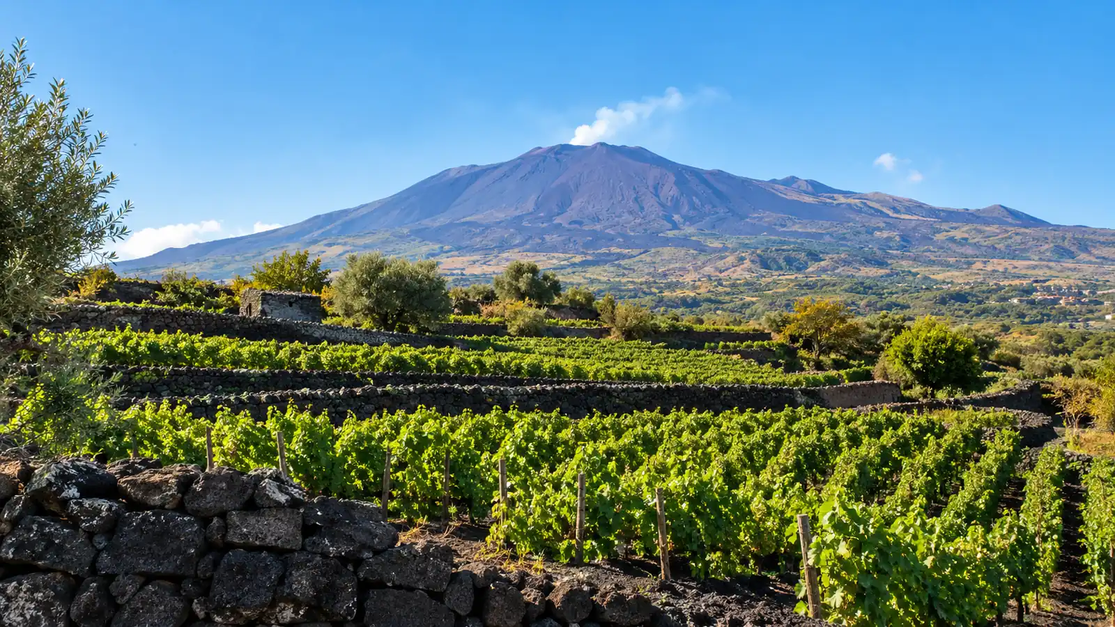
Lava, broom and wine
Below the bare summit, Etna is full of life. Yellow Etna broom grows on old lava up to about 2,000 metres,
cushions of milk-vetch and the Etna violet survive higher up, and beech, birch and pine woods mark the tree line.
Foxes, porcupines and wild cats live in the park, and golden eagles nest again. Lower down, vines on black
volcanic terraces make Etna DOC, Sicily's oldest DOC wine, from Nerello Mascalese and Carricante grapes.
What to know in one line
Book a guided hike if you want the 3,000 metre craters or the summit area, start early, wear real boots and warm
layers, carry cash for the lift, and accept that the volcano decides the route; below 2,500 metres you can walk
on your own.
Straight answers to what hikers ask most about Etna and its tours.
How hard is the hike up Etna?
The walks round the Silvestri craters near 1,900 m are easy. The guided trek to about 3,000 m is moderate: two to four hours on foot at altitude, with a long descent in soft volcanic sand. The summit area is a demanding high-altitude hike for fit walkers. Option by option in how hard the Etna hike is.
Can I hike Mount Etna without a guide?
Yes, on the marked trails up to about 2,500 m on the south side and about 2,850 m on the north side, in daylight and when the alert level allows. The summit zone above that is open only with authorised Alpine or volcanological guides. The rules in hiking Etna without a guide.
How long does it take to hike Mount Etna?
A guided summit day takes about five to six hours from Rifugio Sapienza, with the cable car and 4x4 for the first part and about two hours on foot up to the summit area. On foot all the way from the refuge to the 2,900 m area means about 1,000 m of ascent and four to six hours there and back.
Is it safe to hike up Mount Etna?
Yes, within the rules. Etna is one of the most closely monitored volcanoes in the world, the civil protection closes the summit zone when the risk rises, and authorised guides decide the route on the day. Dress for cold and wind, and skip the summit with heart or breathing problems. More in is it safe to hike Etna.
Is there a cable car that goes up Mount Etna?
Yes. The Funivia dell'Etna runs from Rifugio Sapienza at about 1,900 m to 2,500 m in about 15 minutes. A combined ticket adds a 4x4 bus and a guide towards 2,900 m. Most guided summit hikes charge the lift ticket separately on the day. Details in the Etna cable car guide.
Can I visit Etna by my own car?
Yes, as far as Rifugio Sapienza on the south side (about 50 to 60 minutes from Catania via Nicolosi) or Piano Provenzana on the north side. Above those points only authorised 4x4 vehicles may drive. The car parks at Rifugio Sapienza are pay and display. More in getting to Etna.
Can you see lava at Mount Etna?
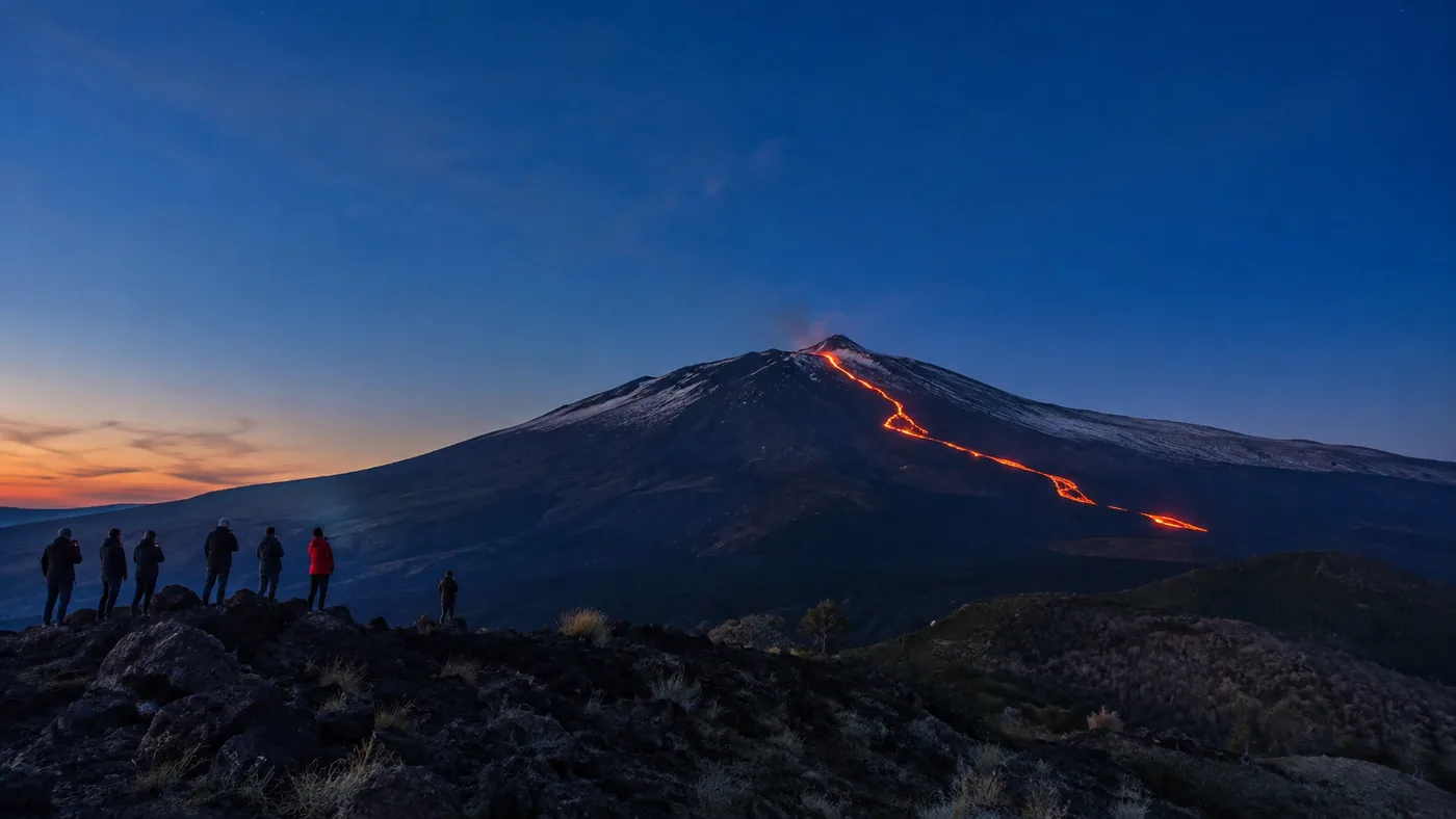
Sometimes. During eruptive phases lava can be seen from viewpoints and on guided sunset walks, always from a safe distance; at other times the craters only steam. Lava is never guaranteed, and the summit zone may be closed while it flows.
Will Mount Etna erupt in 2026?
It already has: Etna erupted several times in summer 2026, with lava fountains and flows into the Valle del Bove, and ash emissions from the Northeast Crater began again on 24 September. Nobody can forecast dates; the INGV observatory in Catania publishes a bulletin every week.
Which city is closest to Mount Etna?
Catania, about 35 km from Rifugio Sapienza, is the nearest city, with the airport. The closest towns are Nicolosi on the south side, Zafferana Etnea to the east and Linguaglossa on the north side. Taormina is about an hour away.
Is it worth hiking Mount Etna?
Yes, if you like big landscapes: walking on fresh lava, over old craters and above the clouds, with views to the sea, is unlike any other hike in Italy. Book a guide for the high craters, start early and accept that the volcano decides the route on the day.
Which is bigger, Vesuvius or Etna?
Etna, by far. At about 3,400 m it is more than 2,100 m higher than Vesuvius (1,281 m) and covers about 1,200 square kilometres. Etna is in Sicily; Vesuvius and Pompeii are near Naples, about 7 hours away by road and ferry.
When is the best time to hike Etna?
May to June and September to October: mild days, usually little snow on the trails and fewer people than in July and August. Start early, because clouds often build over the summit after midday. From about November to April the upper slopes are under snow.
Ready to go
One volcano, many ways up.
Or explore the lower trails on your own with this guide: instant mobile tickets on GetYourGuide, with the refund terms on every hike.
 Moderate
★ 4.65 hours4,691 reviews
Moderate
★ 4.65 hours4,691 reviews